|
|
|
|

|
|
|
|
The story begins... |
|
with the Niagara Escarpment. It is a landform called a cuesta, where a gently-sloping layer of rock forms a ridge. One side of the ridge has a gentle slope - the other side is a steep bluff with some dramatic rocky cliffs. Pictured here is the escarpment near St. Catherines, Ontario Canada. |
|
|
|
|
|
|

|
|
|
|
|
|
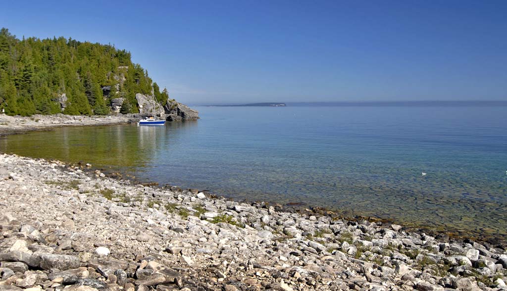
The escarpment begins in Rochester where it forms the high falls and goes through Niagara forming it's falls and then to the Bruce Peninsula and farther. When it reaches the Bruce, it forms dramatic cliffs along the waters edge of the Georgian Bay Shoreline |
|
|
|
|
|
|

|
|
|
|
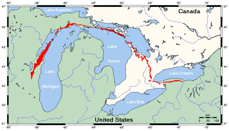
The Bruce Peninsula |
|
The red area is the Bruce Peninsula. It is located between the Georgian Bay and Lake Huron and is a six-hour drive from Rochester. |
|
|
|
|
|
|

|
|
|
|
We arrive... |
|
at our Bed and Breakfast on Dorcas Bay along Lake Huron. This is the view of Dorcas Bay, which is located along the Sandy western edge of the Bruce Peninsula. |
|
|
|
|
|
|
|

|
|
|
|
|
|
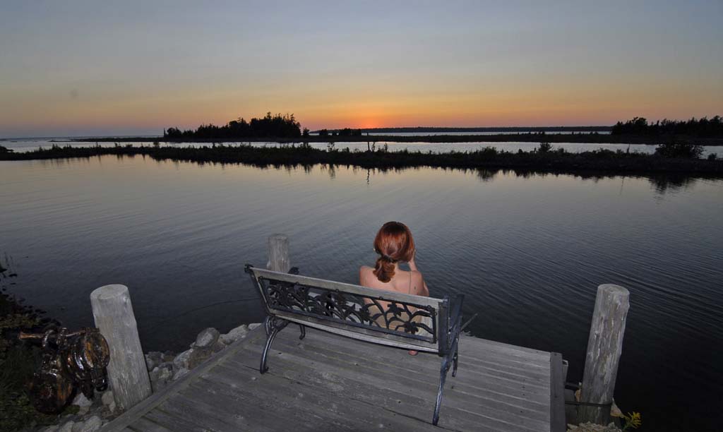
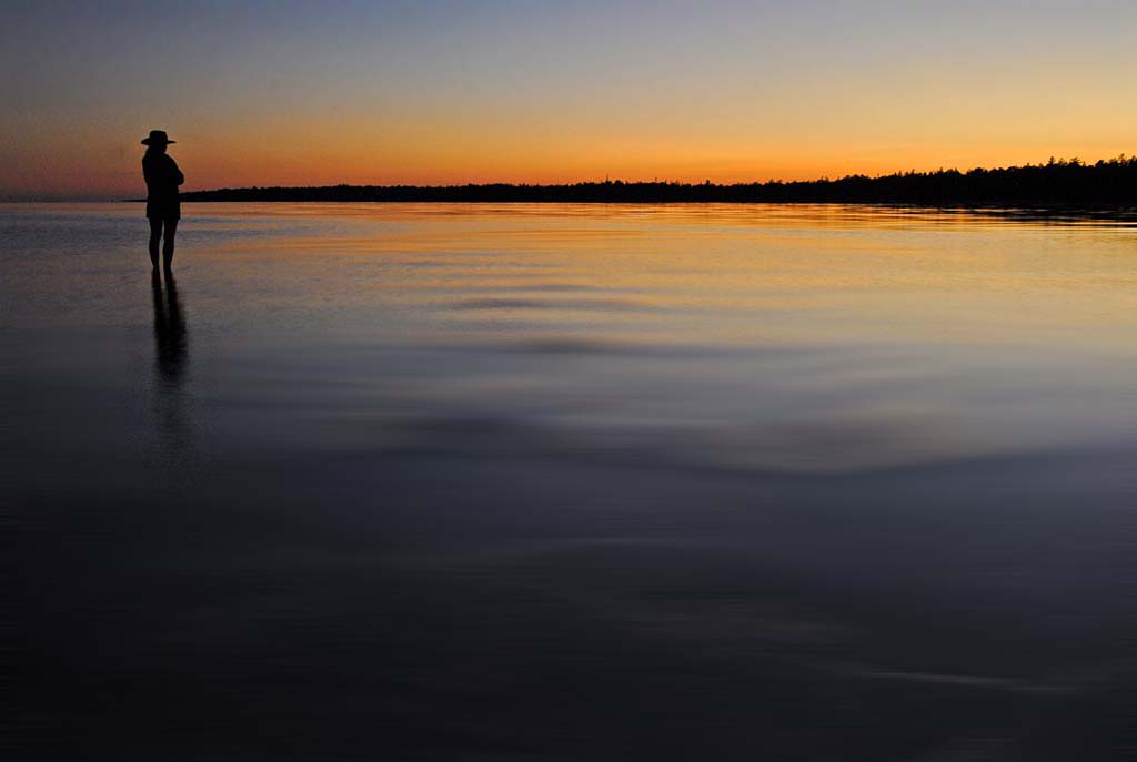
The B&B is called Threewaters and our wonderful hosts were Pat and Rick. Allison is pictured here taking in the sunset. |
|
|
|
|
|
|

|
|
|
|
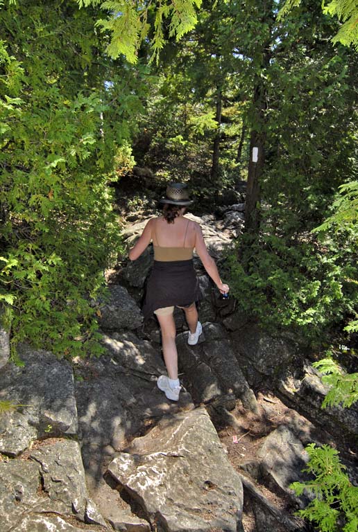
The next morning |
|
we hiked out to the eastern shore of the Bruce where the Niagara Escarpment meets the pure pristine waters of the Georgian Bay. This particular trail is located within the Bruce
Peninsula National Park and is part of the Bruce Trail, Canada's version of the
Appalachian Trail.
|
|
|
|
|
|
|

|
|
|
|
Georgian Bay Inukshuk |
|
is a man-made stone landmark used by
native peoples of the Arctic region of North America. The inukshuk may have been used for navigation
or as a point of reference. |
|
|
|
|
|
|

|
|
|
|
|
|
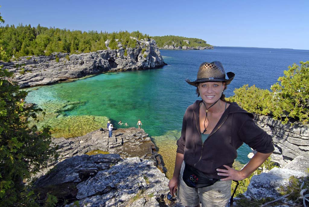
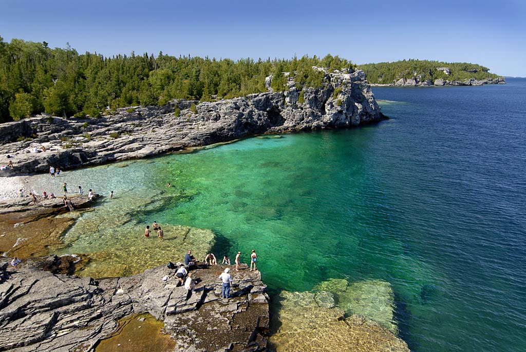
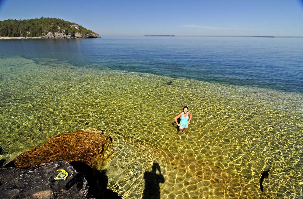
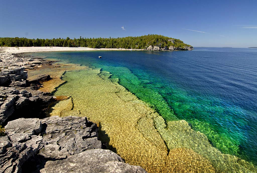
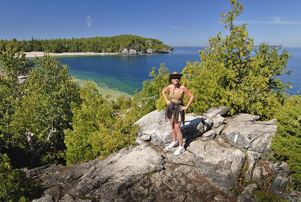
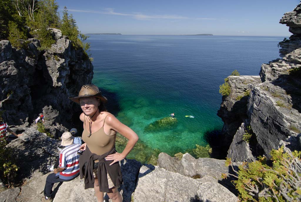
Where the Escarpment forms the shoreline of the Georgian Bay, it is particularly stunning. Allison poses overlooking Indian Head Cove. |
|
|
|
|
|
|
|

|
|
|
|
|
|
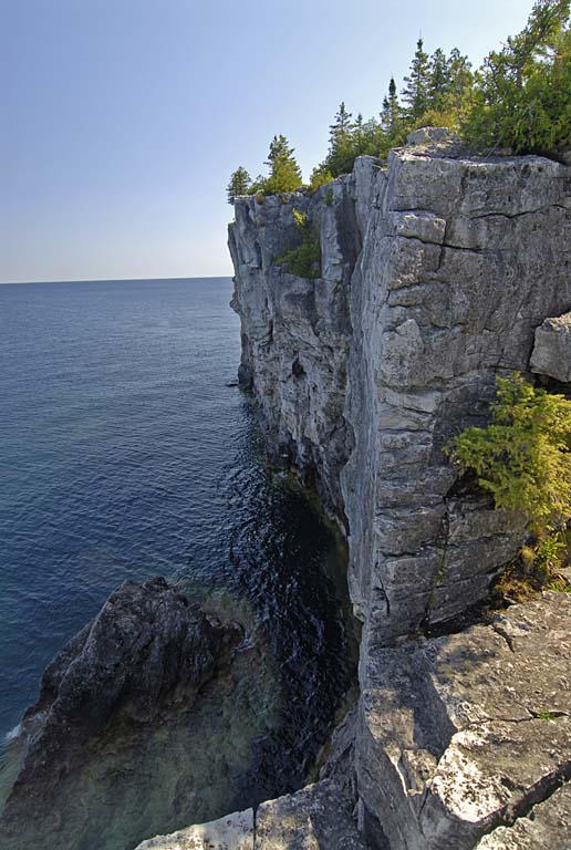
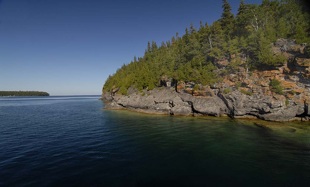
Typical cliffs of the Escarpment. |
|
|
|
|
|
|

|
|
|
|
|
|
Indian Head cove is especially popular with tourists because it's relatively easy to hike to. |
|
|
|
|
|
|

|
|
|
|
|
|
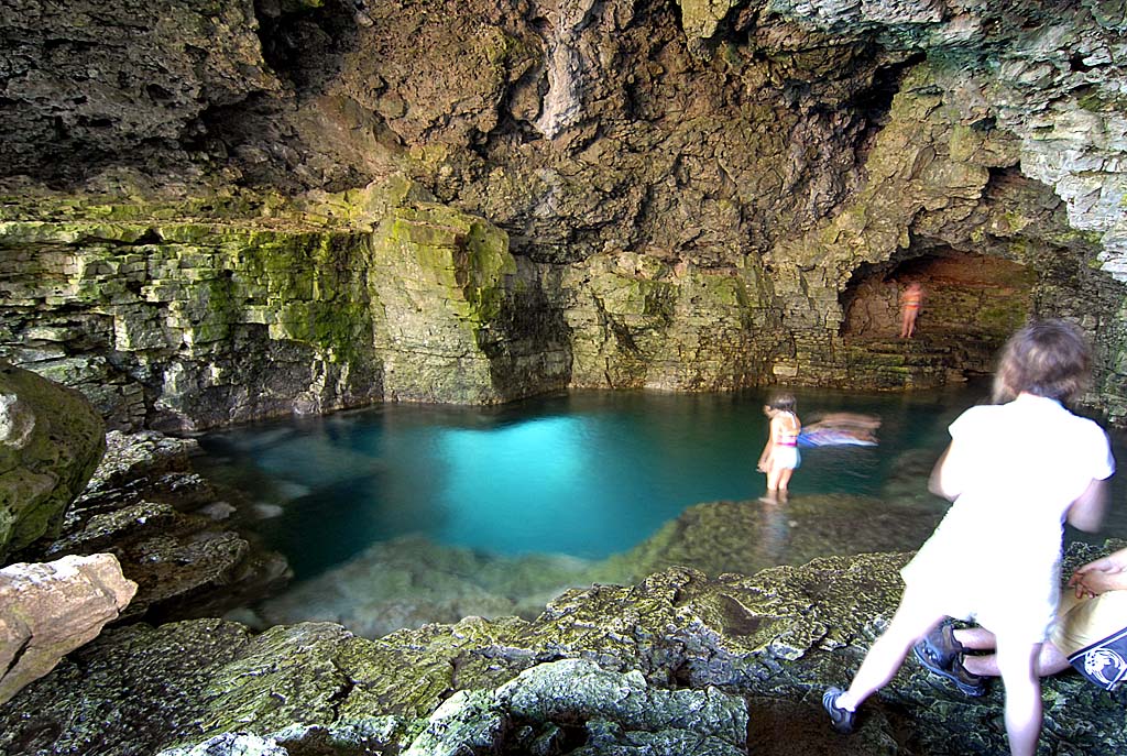
This cave, called the Grotto, has underwater
tunnels that you can swim and snorkel through. This is just around the corner from Indian Head cove. |
|
|
|
|
|
|

|
More grotto... |
|
|
|
|
|
|

|
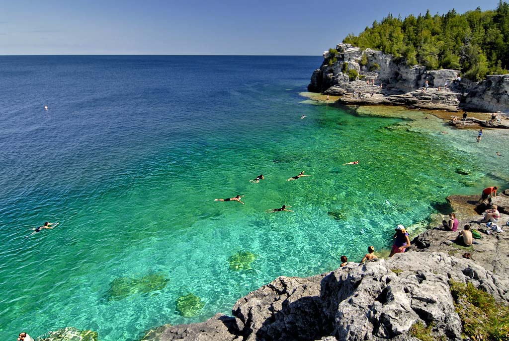
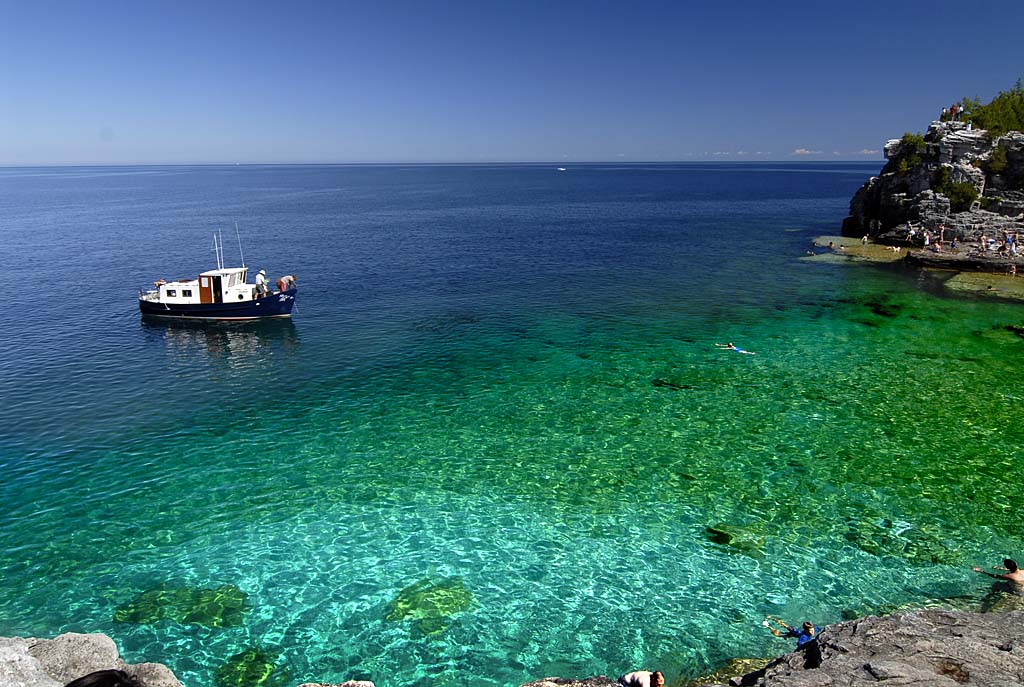
Another view of Indian Head cove |
|
|
|
|
|

|
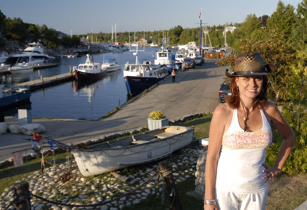
Allison poses with her boyfriend. |
|
|
|
|
|

|
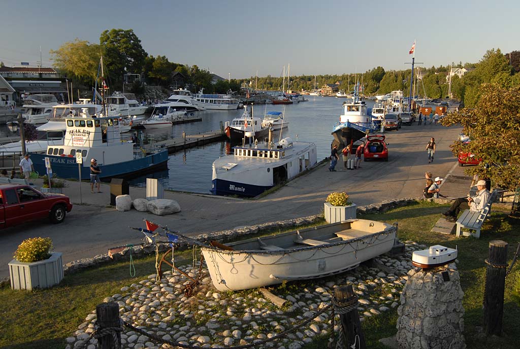
The village of Tobermory lies at the northern tip of the
Bruce Peninsula. |
|
|
|
|
|
|
|

|
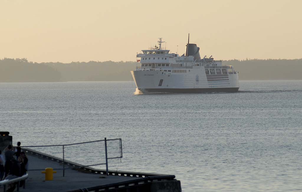
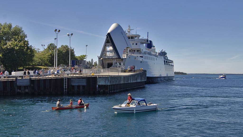
is a Ferry boat which provides service between Tobermory
and Manitoulin Island to the north. |
|
|
|
|
|

|
Chi-Cheemaun literally means 'Big Canoe' in Ojibwa
native language. |
|
|
|
|
|

|
The next day, we hiked out to the Georgian Bay again
taking a different trail. |
|
|
|
|
|

|
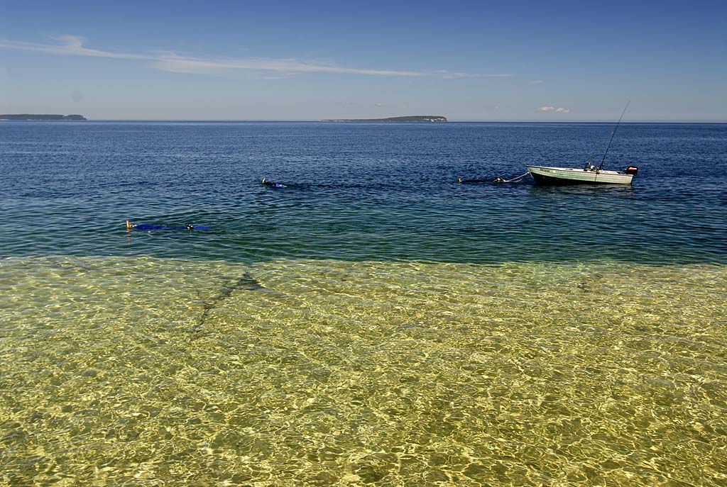
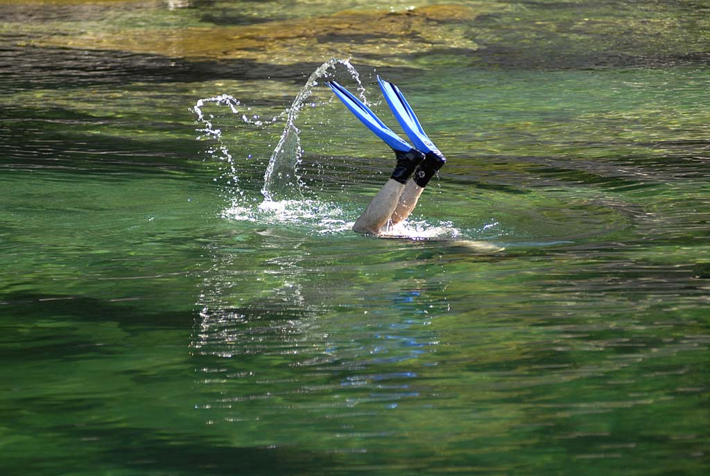
There we found a nice place to swim and snorkel. |
|
|
|
|
|
|
|
|

|
The white mark to the right of Allison on the rocks is the
trail marker.
|
|
|
|
|
|
|
|

|
Allison poses in front of the Grotto, which is down and to the
right of where she is standing |
|
|
|
|
|

|
Another day, another view of Indian Head cove. |
|
|
|
|
|

|
Fathom Five National Marine Park is a largely underwater
Marine Park which protects the many shipwrecks and lighthouses which dot the
area. |
|
|
|
|
|

|
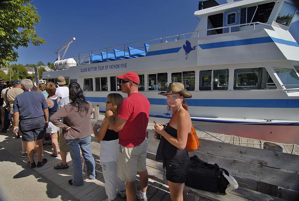
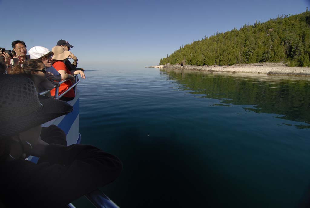
On our trip aboard the Great Blue Heron Tour Boat, we caught
another glimpse of the Chi-Cheemaun upon leaving Tobermory's Little Tub Harbor. |
|
|
|
|
|
|

|
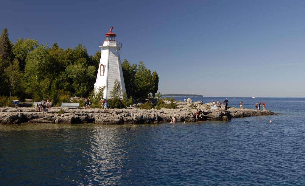
The Big Tub Harbor Lighthouse, popular with swimmers and scuba
divers. |
|
|
|
|
|

|
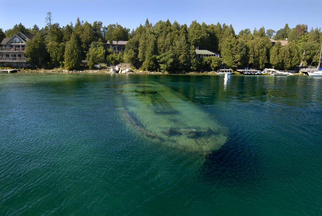
A shallow shipwreck in Big Tub Harbor. |
|
|
|
|
|

|
Heading out to Fathom Five Park aboard the Great Blue Heron. |
|
|
|
|
|

|
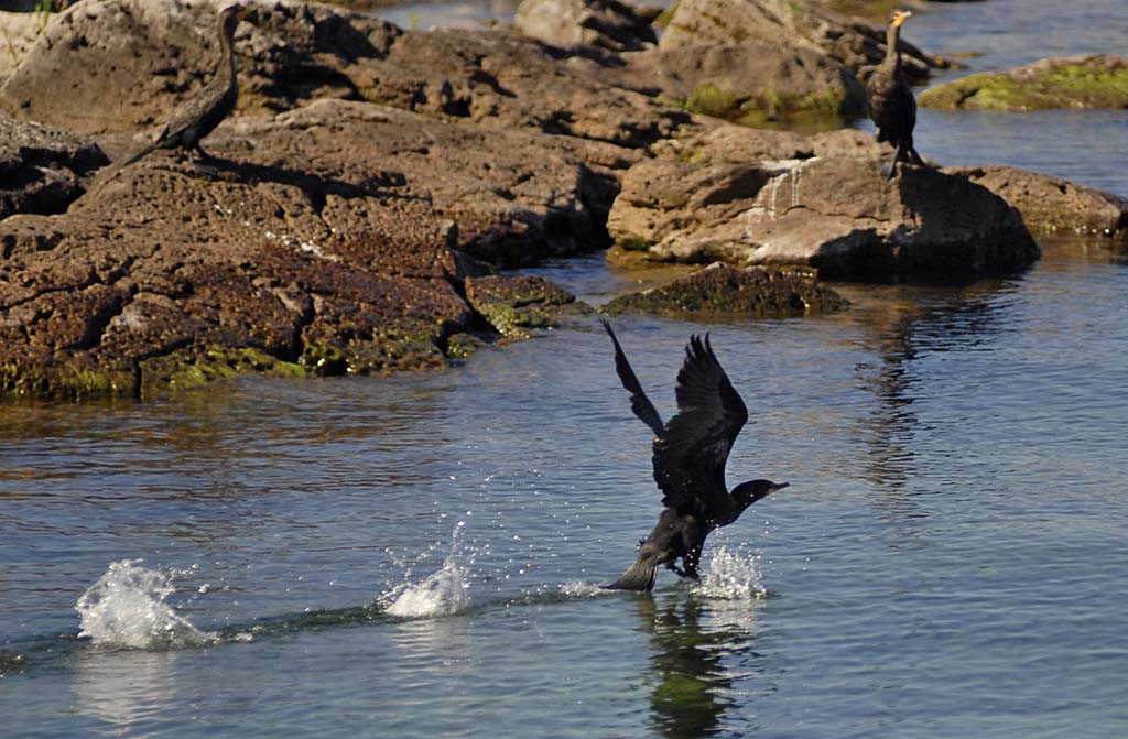
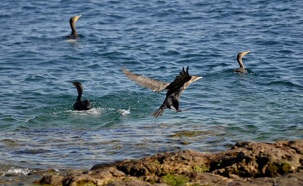
Double Crested Cormorants mainly eat fish by diving and
swimming. |
|
|
|
|
|
|

|
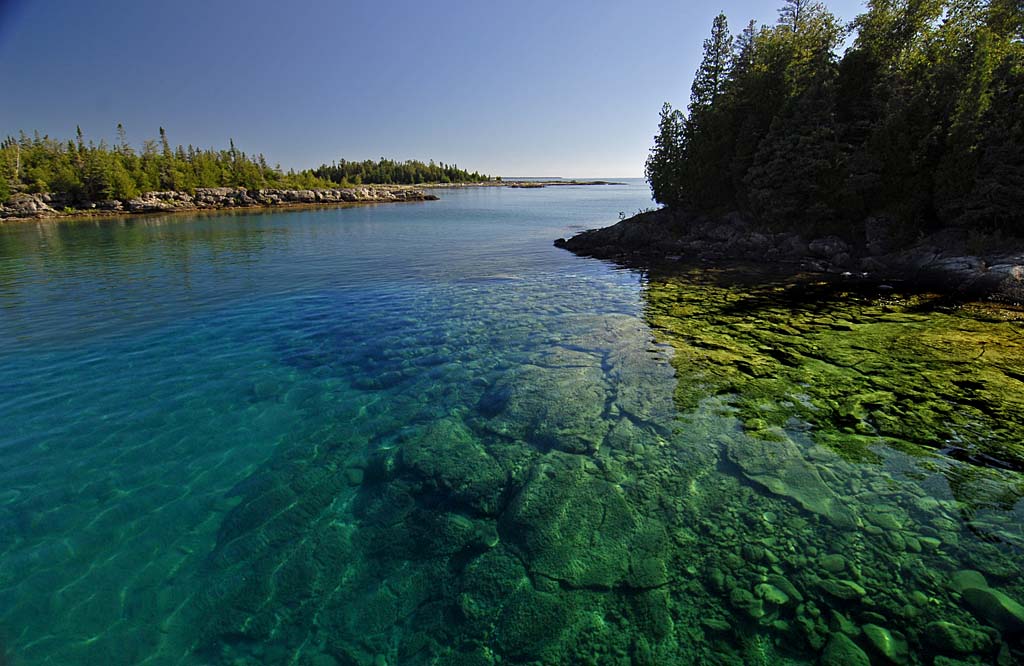
The boat navigates around various islands and through shallow
rock ledges. The ultra-clear water allows a spectacular view. |
|
|
|
|
|

|
More Cormorants. |
|
|
|
|
|

|
Another island within Fathom Five. |
|
|
|
|
|

|
One of the highlights of the tour, the boat approaches Flower
Pot Island. |
|
|
|
|
|
|

|
Flower Pot is popular with hikers and swimmers, but you'll
need a boat to get there. |
|
|
|
|
|

|
The namesake flowerpots are formed out of the Niagara
Escarpment. |
|
|
|
|
|

|
This huge beach gets its name from the sound of wind whistling
through the sand dunes there. |
|
|
|
|
|

|
Singing Sands is a part of Bruce Peninsula National Park and
is located on the Lake Huron shore. |
|
|
|
|
|
|
|

|
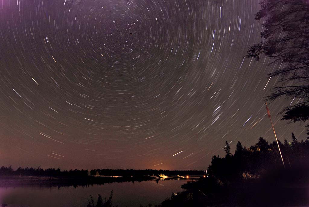
With little light pollution, the Bruce is a great place to
view the stars. This is a 20 minute time exposure illustrating.the fact that the
earth rotates on it's axis. The north star is stationary because it's directly
over the north pole. |
|
|
|
|
|

|
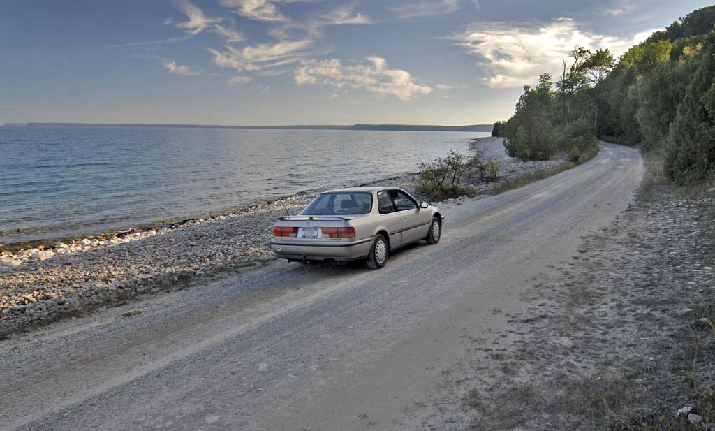
This pristine gravel road leads out to the Cabot Head
Lighthouse |
|
|
|
|
|

|
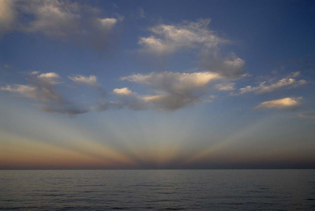
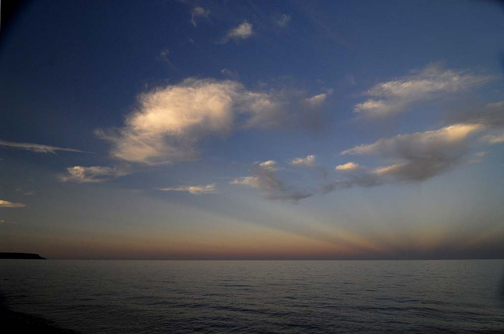
I'd really like to know what causes this effect. The sun was setting in the opposite direction,
which is even more puzzling. |
|
|
|
|
|
|

|
This was looking east over the Georgian Bay from our B&B. |
|
|
|
|
|

|
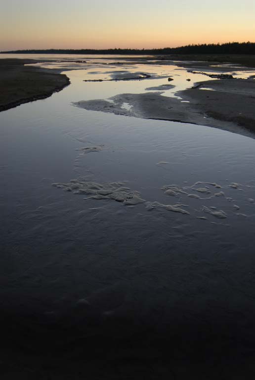
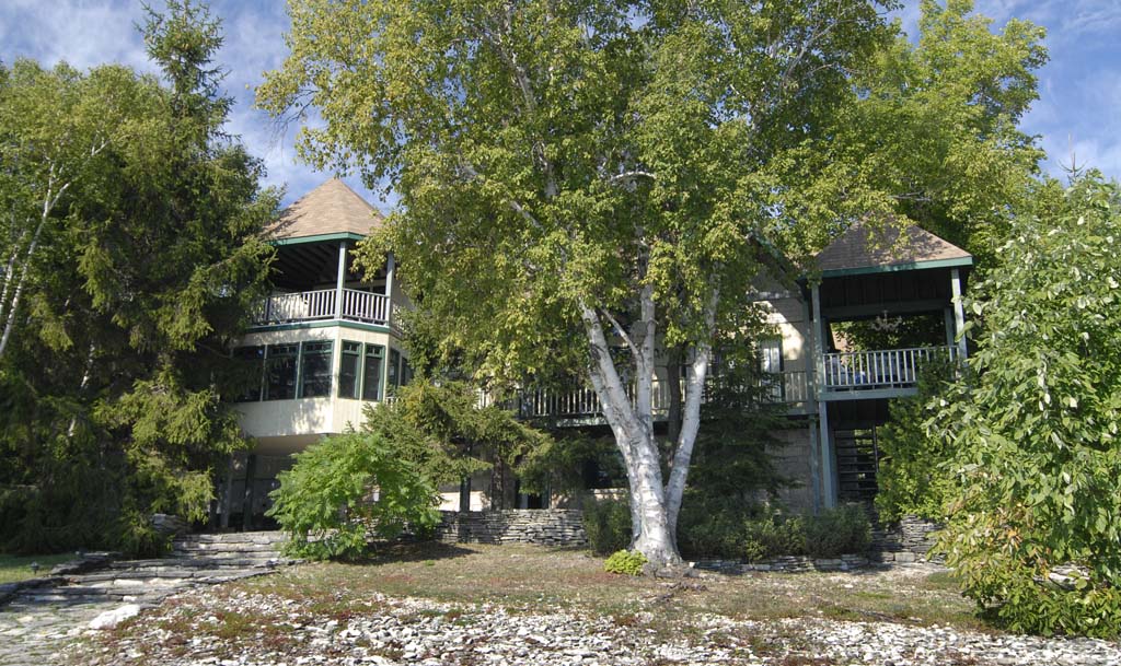
On our last night there, we found this B&B along the Georgian
Bay in the quiet and remote Dyer's Bay.
|
|
|
|
|
|

|
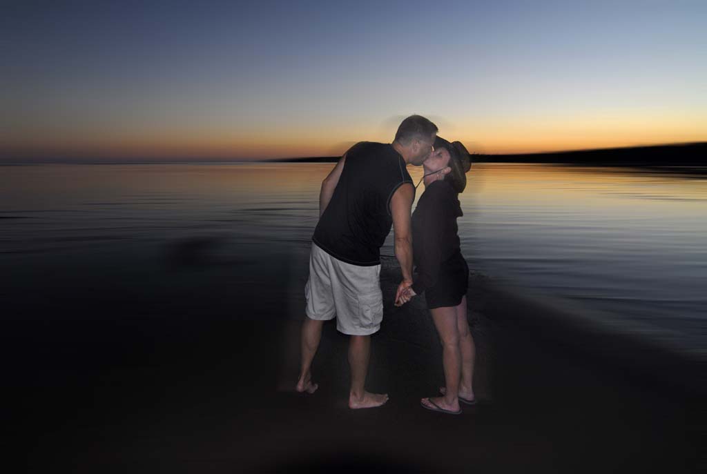
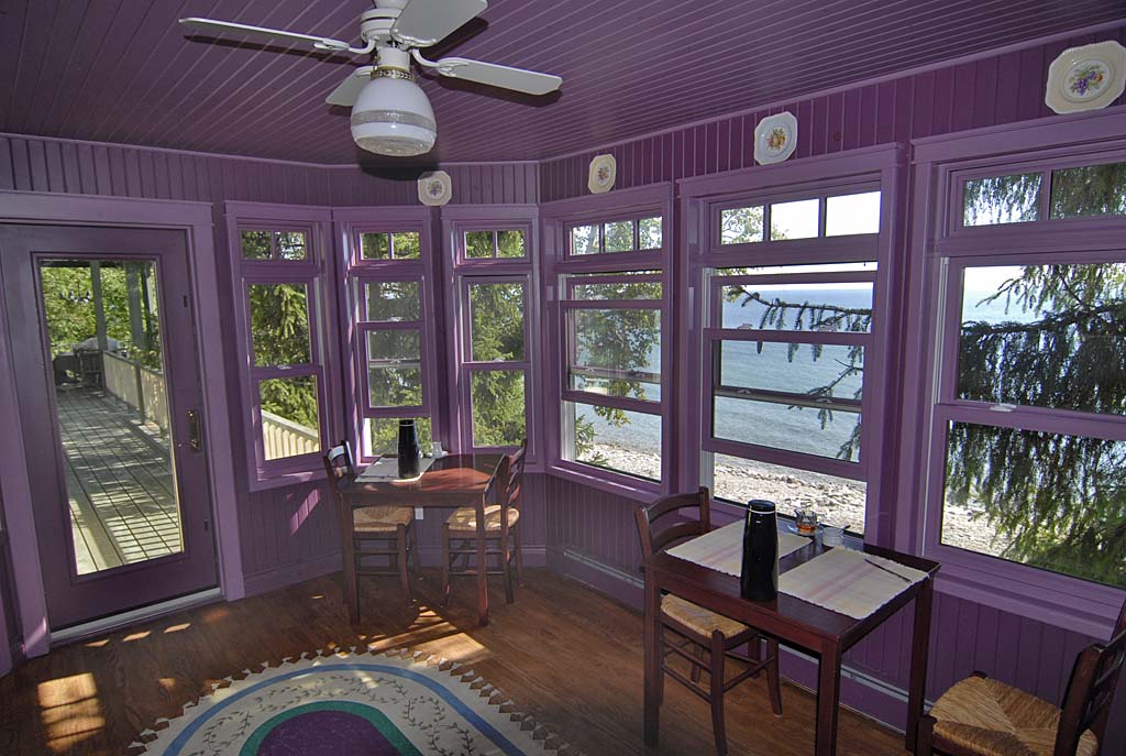
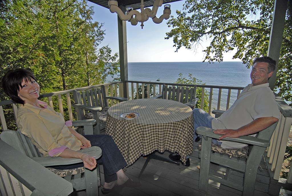
It was called Plumica and this was our host, Celine Girouard. |
|
|
|
|
|
|
|
|